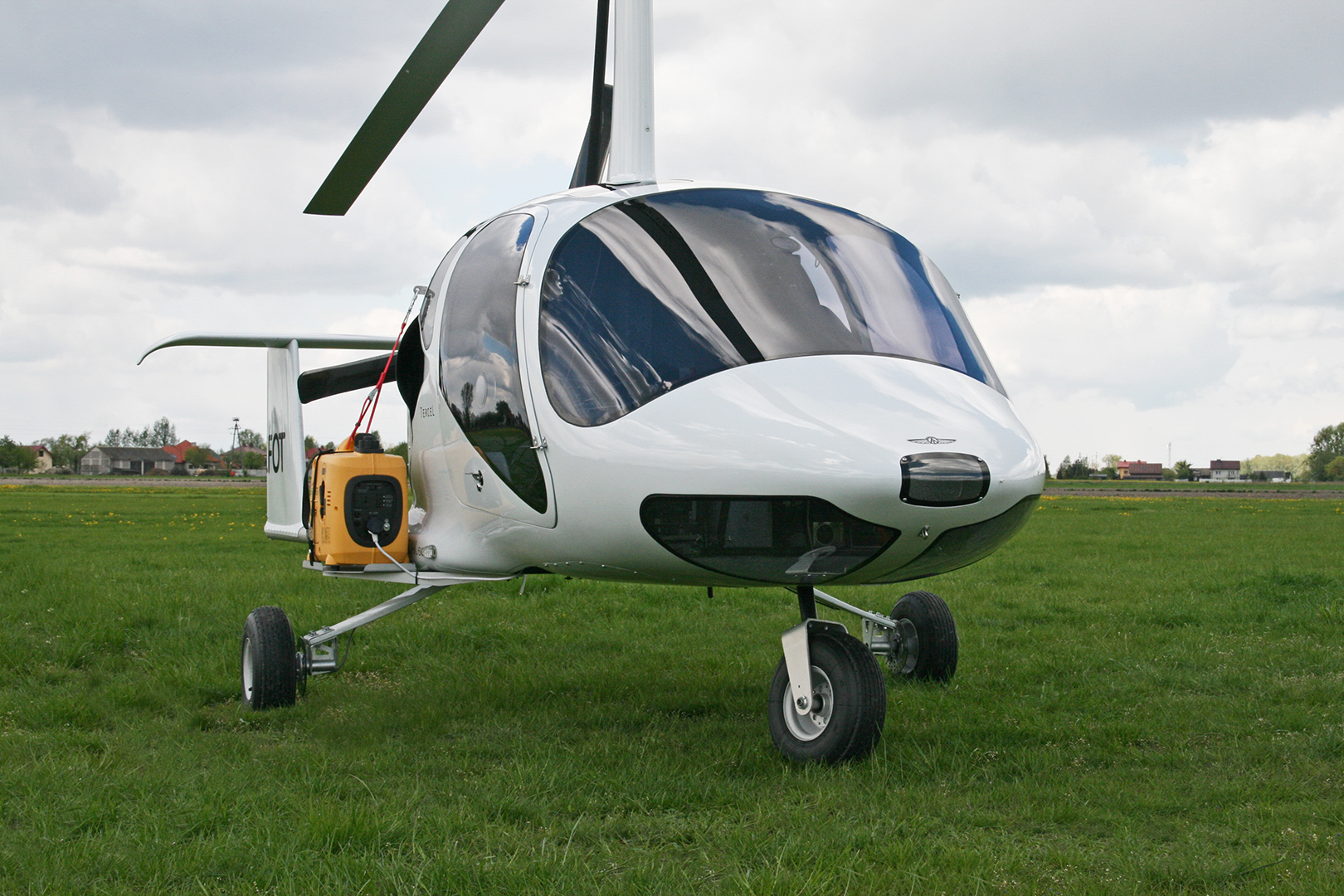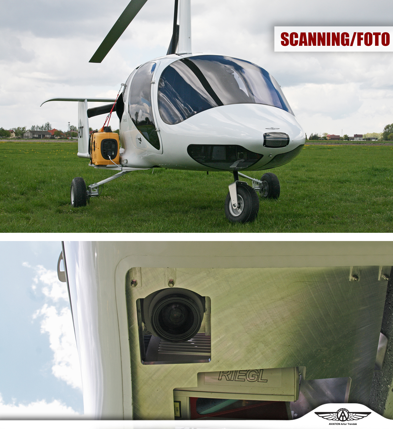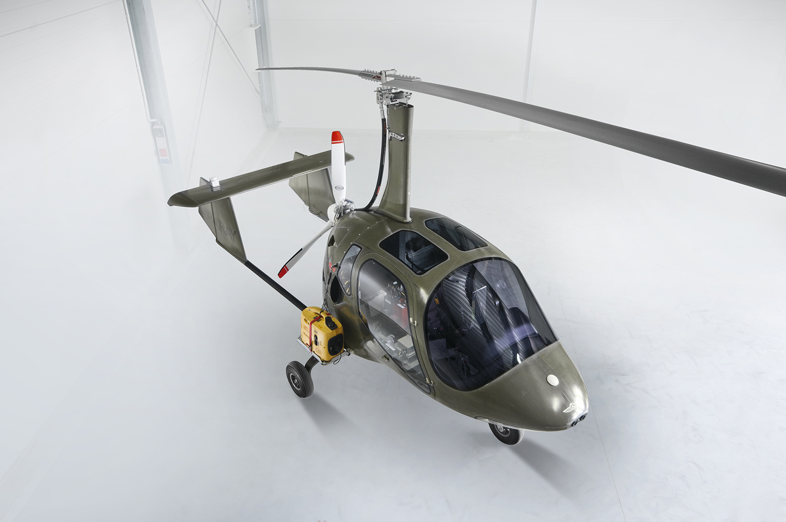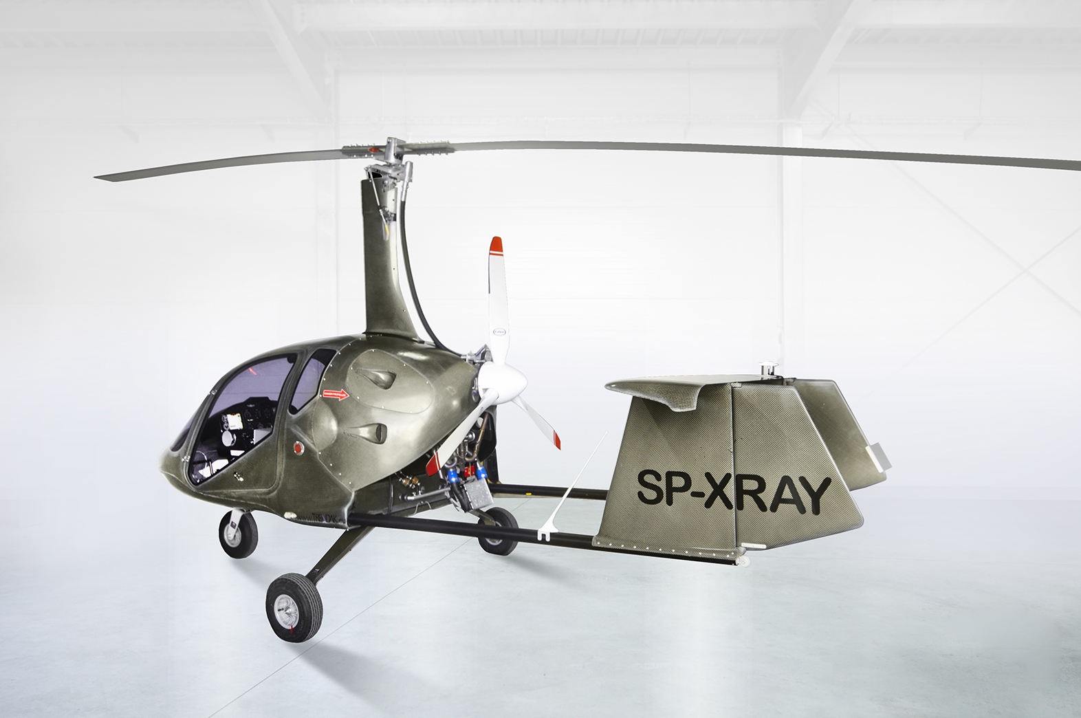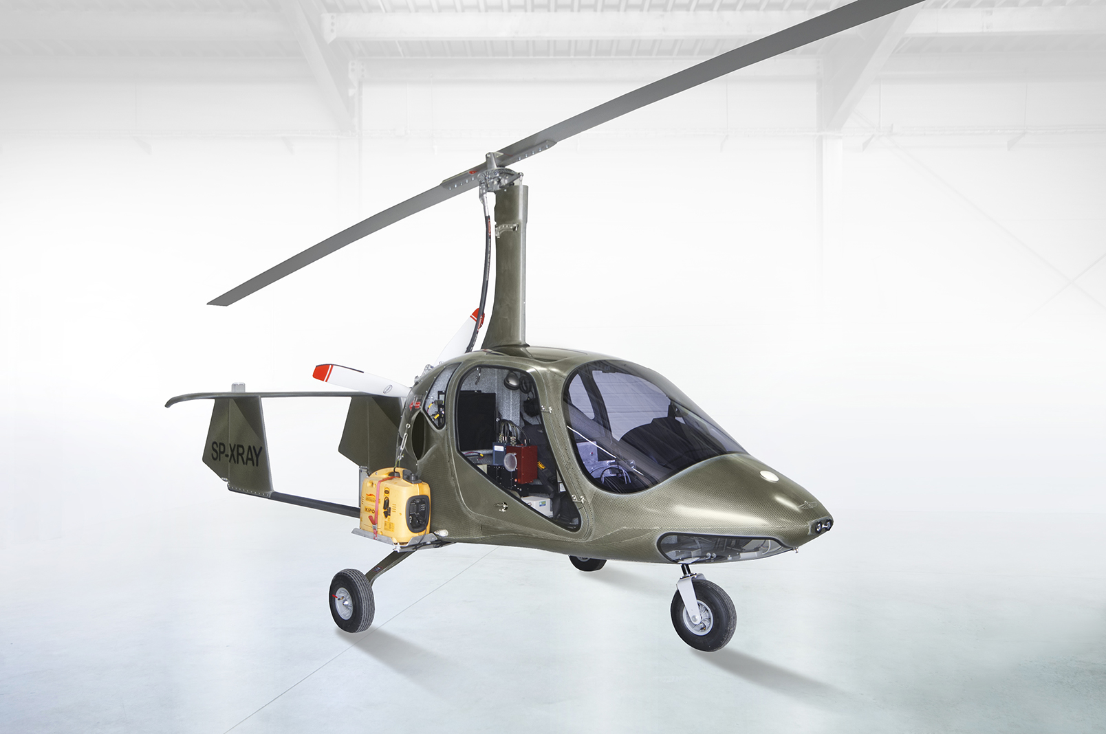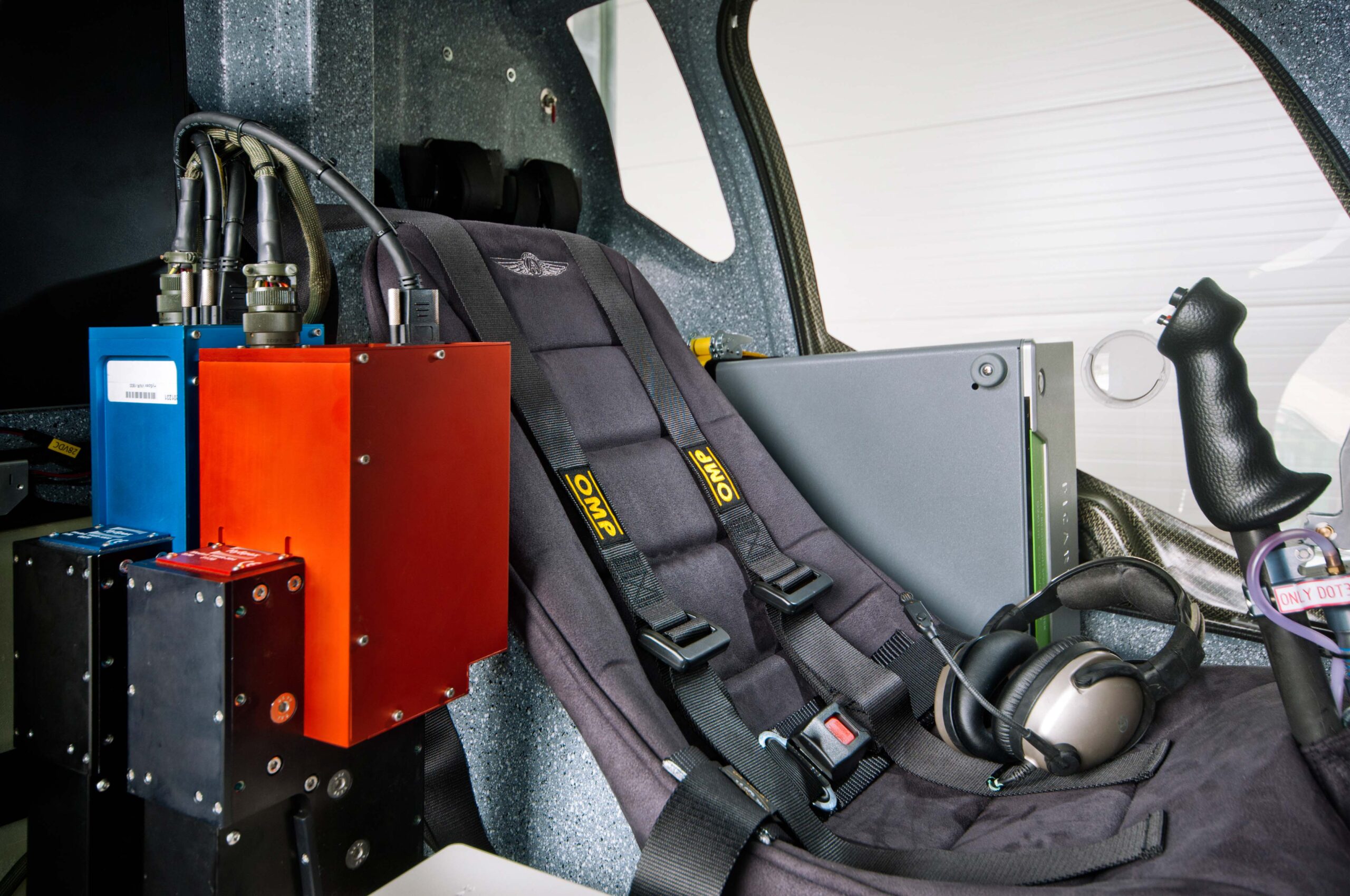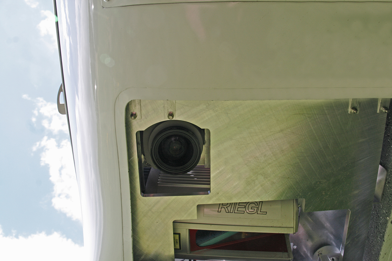
SCANNING
Scanning And Mapping
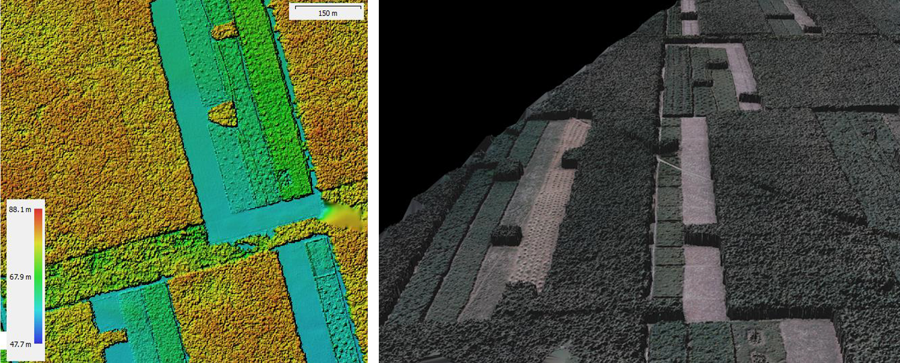
The Area ( orthophotomaps)
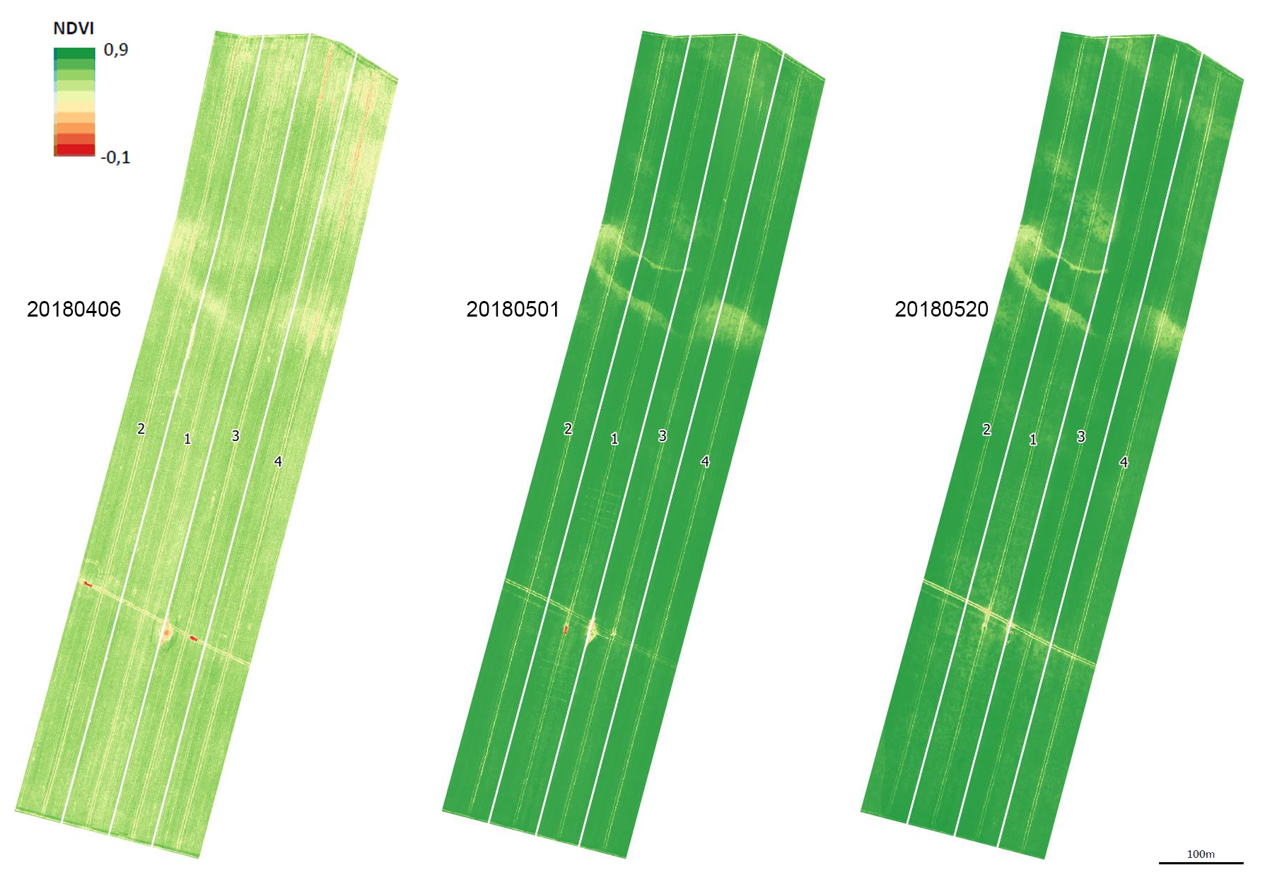
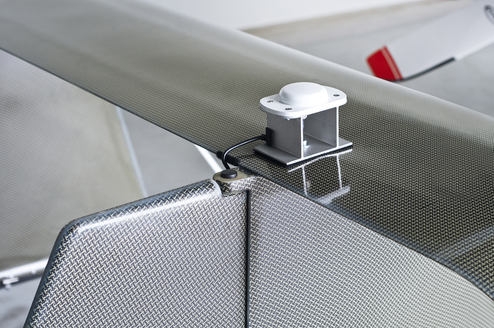
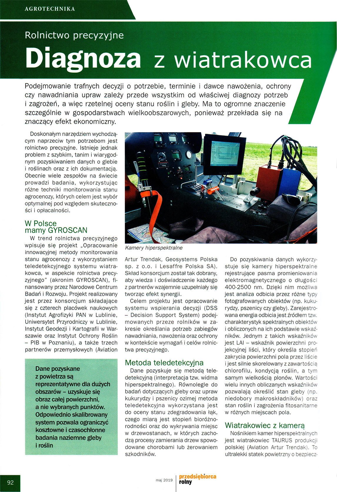
Multispectral and hyperspectral survey with scanners and cameras.
Remote Sensing
Possibility of installation hypertonic scanner.
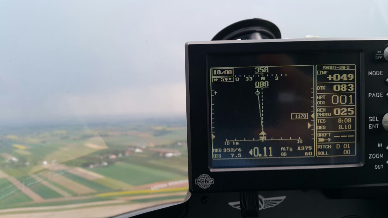
Photogrammetry
Making measurements from photographs, especially for recovering the exact positions of surface points. Moreover, it may be used to recover the motion pathways of designated reference points located on any moving object, components and in the immediately adjacent environment. Photogrammetry may employ remote sensing in order to detect, measure and record complex 2D and 3D motion fields.