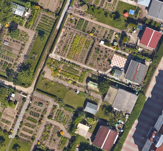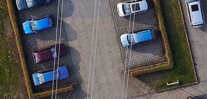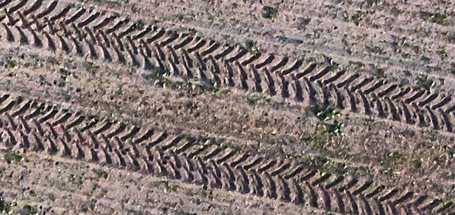
TERRAIN SCANNING
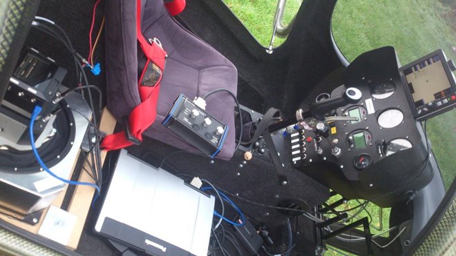
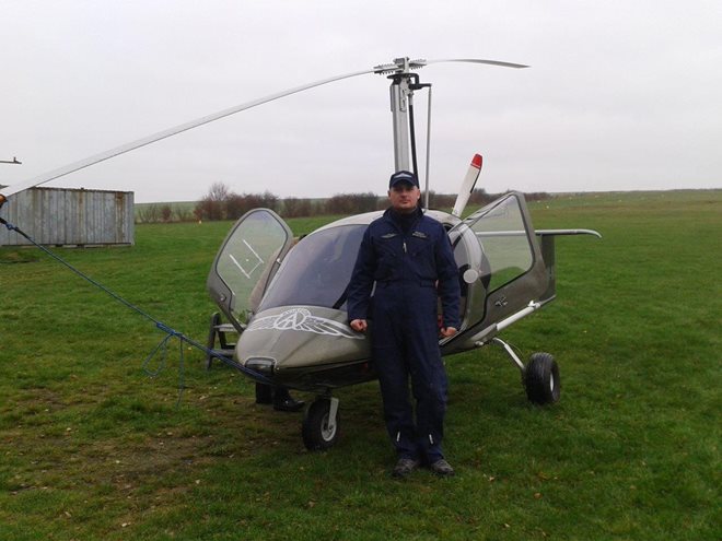
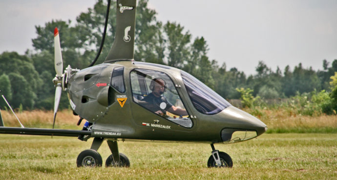
In the end of August we conducted tests of ZEN1 gyrocopter as a platform for terrain scaning and using it in photogrametry. The results of the tests were very good so next month we received the first order. The gyrocopter was used to make a photogrammetry of terrain near Kornswandt city on the north-east end of Germany.
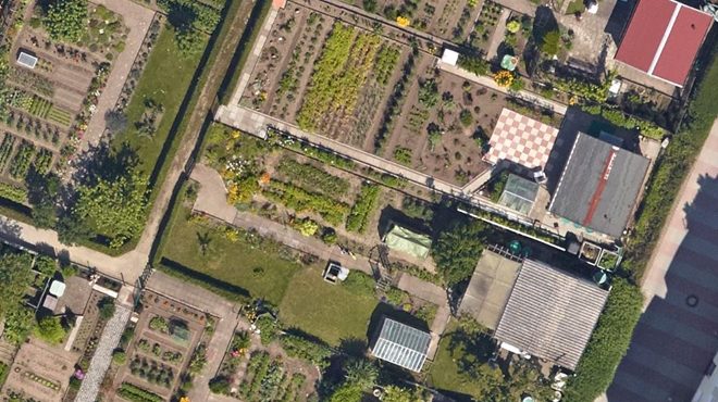
Just a few days ago we received the results of that photogrammetry. The gyrocopter was flying at about 500m (1600ft) and the photos were made by special equipement mounted in the ZEN1. Below we present some of them.
Zen1 gyrocopter is a proven machine for such applications. We invite all of you interested in cooperation. We provide both the service and building of special Zen1 gyrocopter for the use of scanning.